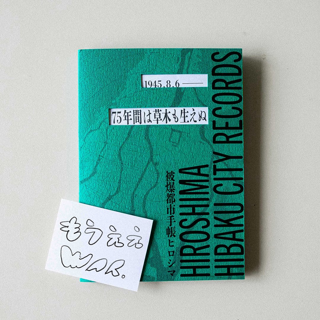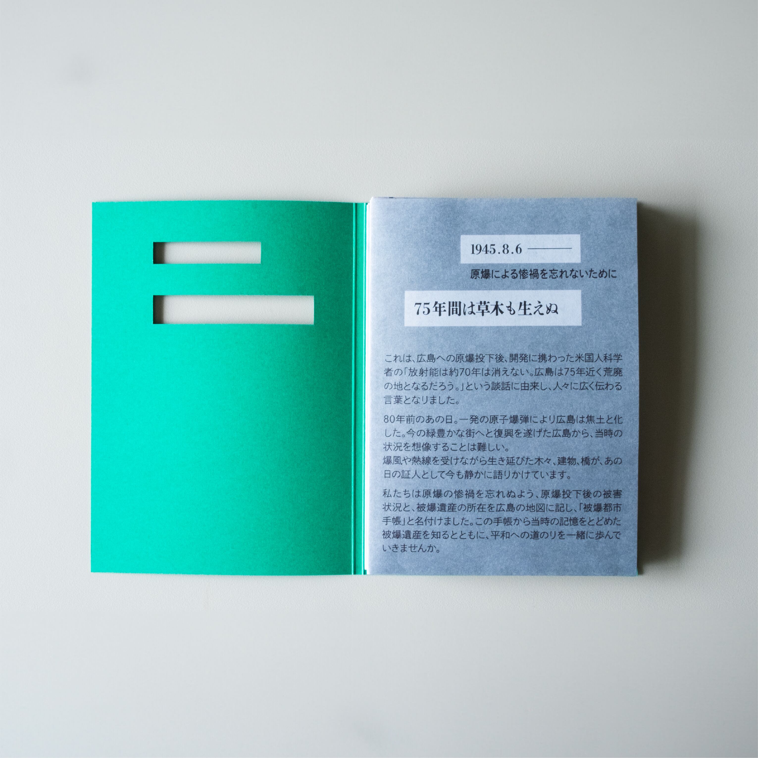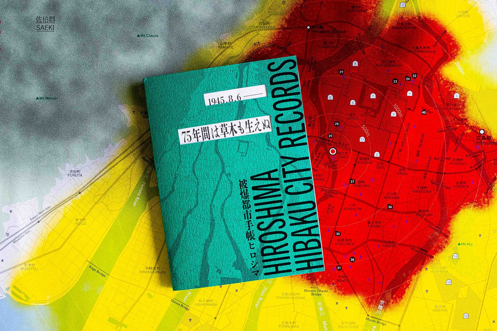


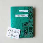




被爆都市手帳ヒロシマ -HIBAKU CITY RECORDS: HIROSHIMA-
¥1,300($8.29)
International shipping available
被爆したヒロシマという街のカルテ。
広島の街の健康手帳であるということをコンセプトとした被爆時と現在の地図です。
人に健康手帳があるように、街にも健康手帳があっていい。
戦後、被爆者には「被爆者健康手帳」が交付されました。
個々の容態が手帳に記録されてきたように、 街の状態をこの手帳に。
広島出身のユニットckinoco が、被爆の記憶と復興の歩みを、
1945年と現在の地図からたどるために制作しました。
この地図とともに街を歩き、戦争、そして平和とは何かを考えるきっかけになると嬉しいです。
サイズ A6(105mm×148mm)
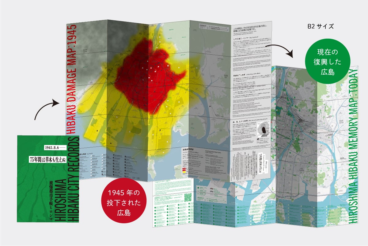
地図サイズ B2折りたたみ(515mm×728mm)
日本語、英語併記
ステッカー付き
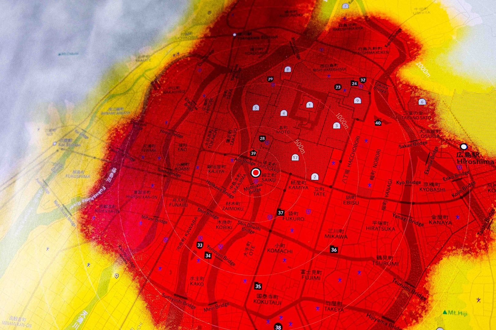
表:1945年被爆当時の広島市の被爆状況
・当時のヒロシマの状況、主要施設の所在、範囲
・全壊、半壊、黒い雨の及んだ範囲
・原爆投下の原因、被害、症状、後遺症とは
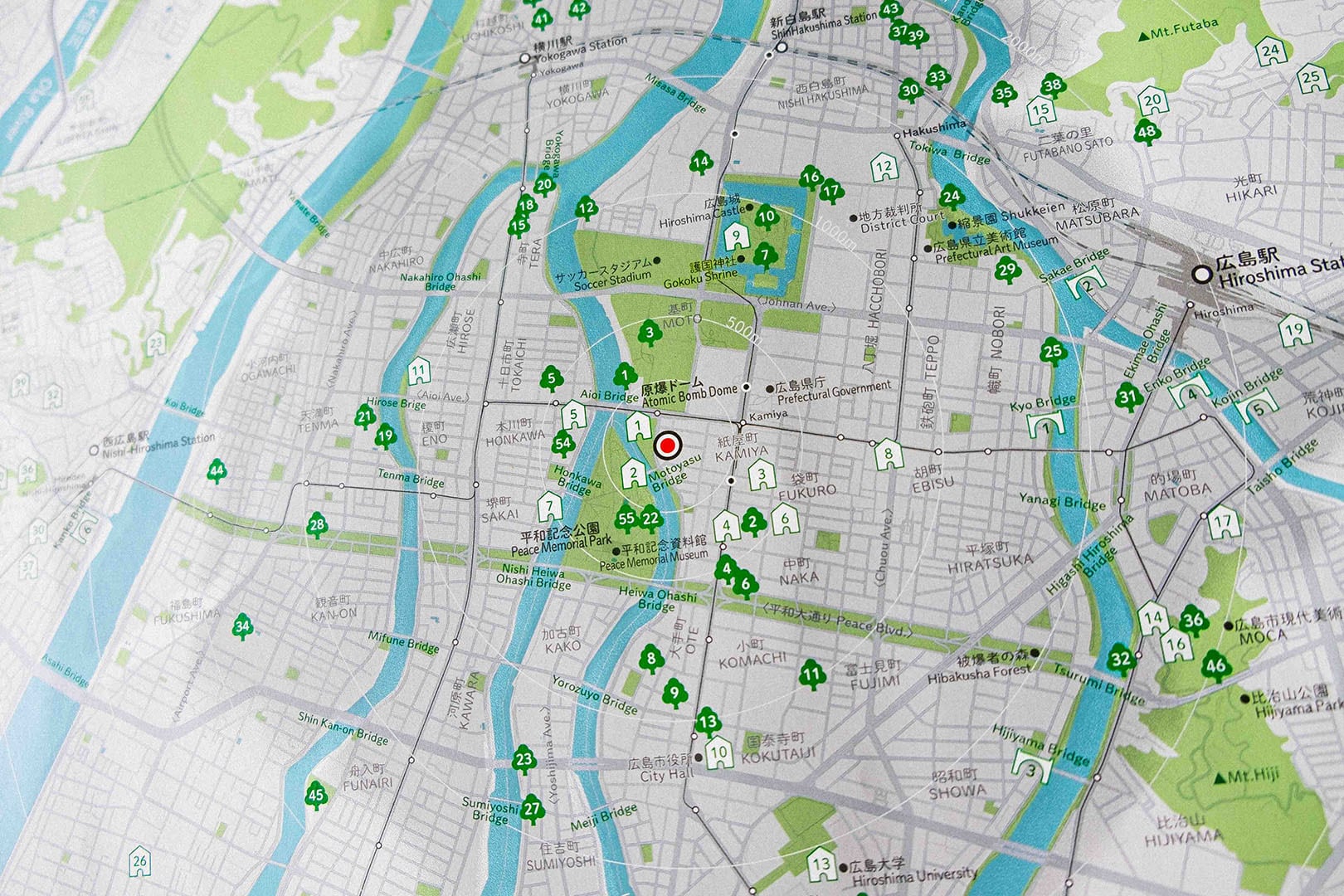
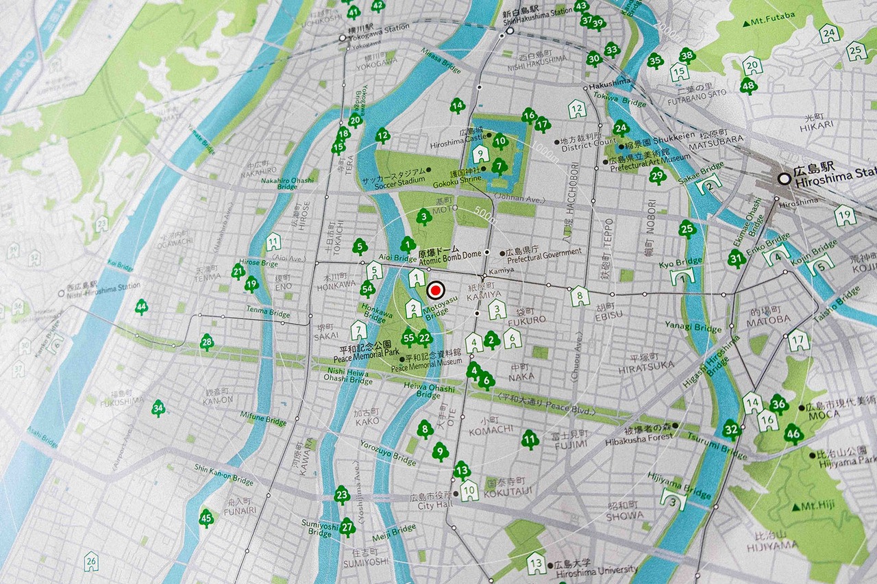
裏:今の広島市の被爆遺産の分布
・軍都から平和都市へと変わったヒロシマの歩み
・今に残る傷跡、被爆遺産(建物、橋梁、樹木)を記載
広島は原爆投下から80年を経て、
焦土から緑豊かな都市へと生まれ変わりました。
当時を知る人が減りゆくなかで、
被爆してもなおたくましく生き続ける樹木や、被爆時の惨状をとどめる建物があります。
それらの所在がわかる今の地図と80年前の原爆投下後の被害状況をまとめた地図を、
表裏で見比べられる手帳を作りました。
原爆ドーム周辺に限らず広範囲に及んだ被害、
そして市民の活動によって残された被爆遺産を知ってほしい。
この地図を手に歩くことで、ヒロシマの「過去」と「いま」を
自分の足で感じ取ることができます。
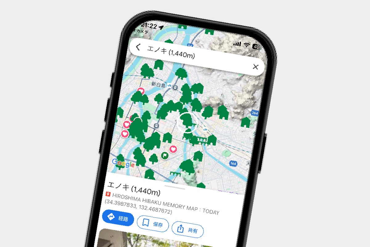
紙面にあるバーコードから被爆遺産googlemapにアクセスでき、
スマホで確認しながら被爆遺産を巡ることもできます
instagram @papierpot
# A Map of Hiroshima, Designed as the City's Health Record
Just as people have health records, we believe a city can have one too.
After World War II, survivors of the atomic bombing were issued an **Atomic Bomb Survivor's Health Handbook**, documenting their physical condition over time. Inspired by this idea, we created a "health record" for the city itself.
Created by the Hiroshima-based creative unit **ckinoco**, this map traces Hiroshima's journey from the atomic bombing in 1945 to the city it is today.
We hope this map encourages people to walk through Hiroshima and reflect on war, remembrance, and peace.
**Specifications**
* Booklet size: A6 (105 × 148 mm)
* Fold-out map: B2 (515 × 728 mm)
* Japanese / English bilingual
* Includes a sticker
## Front: Hiroshima at the Time of the Atomic Bombing (1945)
* Hiroshima's landscape, major facilities, and city layout in 1945
* Areas of total destruction, partial destruction, and the extent of the black rain
* Why Hiroshima was targeted, the damage caused by the atomic bomb, radiation exposure, and its long-term health effects
## Back: Hiroshima Today — Mapping the City's A-bomb Heritage
* Hiroshima's transformation from a military city to a city of peace
* Locations of surviving A-bomb heritage sites, including buildings, bridges, and trees that still bear the scars of the bombing
---
Eighty years after the atomic bombing, Hiroshima has transformed from a burned-out city into one rich with greenery.
As fewer people remain who experienced the bombing firsthand, trees that survived the blast and buildings that still bear its scars continue to tell the story.
This booklet presents two maps side by side: one showing the devastation immediately after the atomic bombing in 1945, and the other showing the locations of surviving A-bomb heritage sites today.
We hope people will discover that the devastation extended far beyond the area around the Atomic Bomb Dome, and learn about the many heritage sites that have been preserved through the efforts of Hiroshima's citizens.
By walking through the city with this map, visitors can experience Hiroshima's past and present with their own eyes and feet.
QR codes throughout the booklet link directly to a Google Maps guide of Hiroshima's A-bomb heritage sites, allowing visitors to explore them while navigating on their smartphone.
**Instagram:** @papierpot